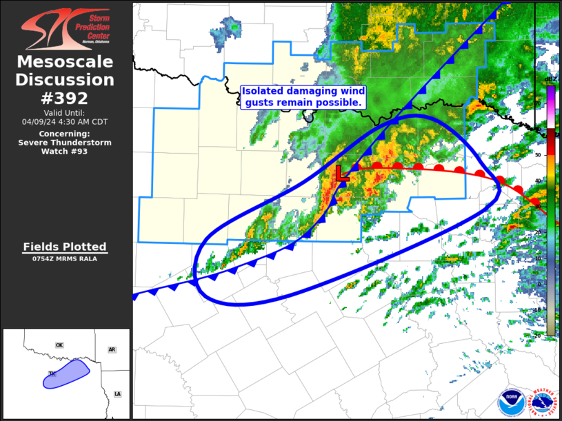
MD 0392 CONCERNING SEVERE POTENTIAL...WATCH UNLIKELY FOR PORTIONS OF EASTERN IDAHO...NORTHERN UTAH...WESTERN WYOMING...FAR SOUTHERN MONTANA

Mesoscale Discussion 0392
NWS Storm Prediction Center Norman OK
0348 PM CDT Sun Apr 12 2026

Areas affected...portions of eastern Idaho...northern Utah...western
Wyoming...far southern Montana

Concerning...Severe potential...Watch unlikely

Valid 122048Z - 122245Z

Probability of Watch Issuance...20 percent

SUMMARY...A few more severe gusts may occur with the stronger storms
over the next few hours, especially in association with the primary
band of convection over southeastern ID into northern UT.

DISCUSSION...Scattered thunderstorms have developed over portions of
the central Rockies over the past few hours with the approach of a
500 mb vort max. A relatively more pronounced band of thunderstorms
has become established over southeastern ID into northern UT, where
multiple 50+ kt convective wind gusts have been measured. Given up
to 1000 J/kg SBCAPE preceding this convective band (per 20Z
mesoanalysis), additional severe gusts remain possible, both with
this band, and perhaps with storms out ahead of it

..Squitieri/Mosier.. 04/12/2026

...Please see www.spc.noaa.gov for graphic product...

ATTN...WFO...BYZ...RIW...TFX...SLC...PIH...MSO...

LAT...LON   40421270 40601245 40961226 41461234 42271280 42711327
            42911344 43901326 44741289 45271182 45451081 45190984
            44930934 44610907 44070898 43410905 42500944 41640995
            41121037 40701088 40371138 40261175 40211213 40421270

MOST PROBABLE PEAK WIND GUST...55-70 MPH
Read more
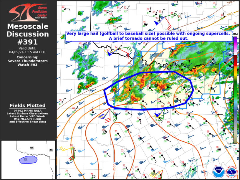
MD 0391 CONCERNING SEVERE POTENTIAL...WATCH UNLIKELY FOR PARTS OF NORTHWESTERN TEXAS THROUGH WESTERN OKLAHOMA

Mesoscale Discussion 0391
NWS Storm Prediction Center Norman OK
0318 PM CDT Sun Apr 12 2026

Areas affected...parts of northwestern Texas through western
Oklahoma

Concerning...Severe potential...Watch unlikely

Valid 122018Z - 122245Z

Probability of Watch Issuance...20 percent

SUMMARY...Isolated to widely scattered thunderstorm activity may
develop and pose a risk for a couple of strong downbursts
approaching or exceeding severe limits through 6-7 PM CDT.

DISCUSSION...Substantive destabilization is ongoing along and ahead
of the dryline, which continues to gradually mix eastward across the
Texas South Plains, and now through west Oklahoma.  Even so,
convergence along the dryline remains weak, and mid-level heights
are tending to rise in the wake of short wave troughing progressing
into the upper through middle Mississippi Valley.  Guidance
generally suggests that potential for thunderstorm initiation
along/east of the dryline is low at least into early evening, if not
beyond.

However, where convective temperatures are being reached in the
deepening mixed boundary layer to the west of the dryline, deepening
convective development is evident, particularly now in a cluster
west-northwest of Lubbock into areas east of Amarillo.  Despite weak
CAPE, at least some further intensification is possible as this
activity spreads east northeastward through 21-00Z.  Calibrated
thunderstorm guidance even indicates low probabilities for isolated
to widely scattered thunderstorm development.

As this occurs, based above a roughly 3+ km deep boundary-layer with
40-50 degree temperature dew point spreads, and in the presence of
20+ kt mean lower/mid-tropospheric flow, a couple of strong
downbursts approaching or exceeding severe limits appear possible.

..Kerr/Mosier.. 04/12/2026

...Please see www.spc.noaa.gov for graphic product...

ATTN...WFO...OUN...SJT...LUB...AMA...MAF...

LAT...LON   35500039 36669928 36509827 32670078 33930173 35500039

MOST PROBABLE PEAK WIND GUST...55-70 MPH
Read more
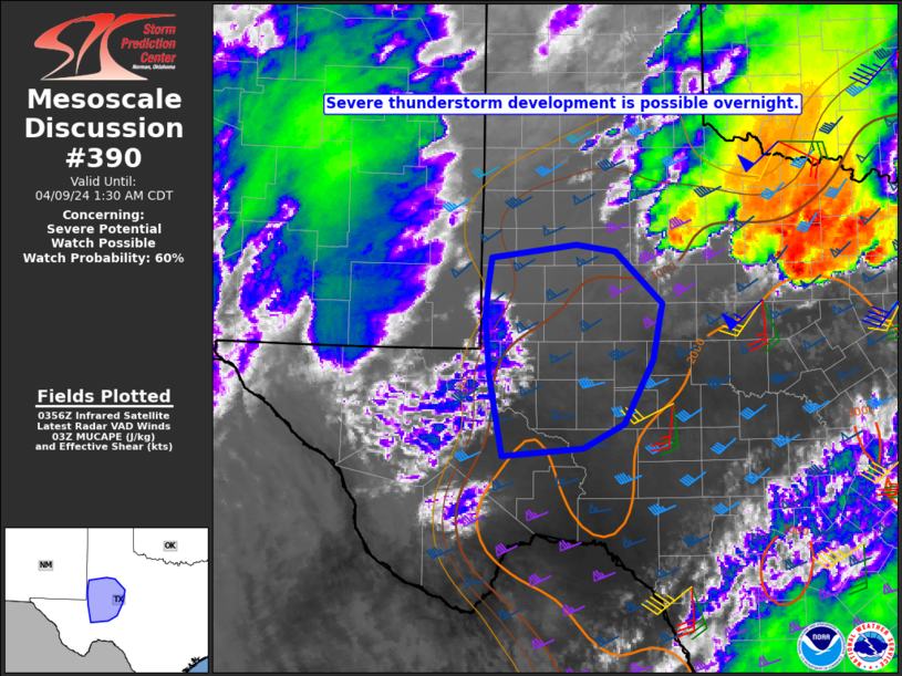
MD 0390 CONCERNING SEVERE POTENTIAL...WATCH UNLIKELY FOR PORTIONS OF NORTHEASTERN MINNESOTA INTO FAR NORTHWESTERN WISCONSIN

Mesoscale Discussion 0390
NWS Storm Prediction Center Norman OK
0303 PM CDT Sun Apr 12 2026

Areas affected...portions of northeastern Minnesota into far
northwestern Wisconsin

Concerning...Severe potential...Watch unlikely

Valid 122003Z - 122200Z

Probability of Watch Issuance...20 percent

SUMMARY...A conditional hail/tornado threat will accompany any storm
that develops and becomes sustained, though confidence in this
scenario is currently low.

DISCUSSION...A mid-level shortwave trough is currently overspreading
the Upper MS Valley region, prompting the eastward progression of a
surface low over northwestern Minnesota. Low-level moisture
convergence (evident via 60+ F surface dewpoints) is occurring along
the warm front ahead of the surface low (along a Cass to Carlton
County, MN line), with a separate differential heating boundary
noted from Cass to Pine Counties in MN. A cold front also extends
from roughly Cass to Big Stone Counties. Ahead of the cold front,
and in between the warm front and differential heating boundary,
some increase in CU has been noted. Mesoanalysis shows 1000-1500
J/kg MLCAPE in place over this region, with CINH continuing to
erode. Furthermore, mesoanalysis and RAP forecast soundings depict
elongated mid-level hodographs with modest low-level curvature and
over 40 kts of effective bulk shear.

The ambient environment along the warm front supports supercell
potential, accompanied by a hail and perhaps tornado threat should a
storm develop. The main question is if convective initiation will
occur given weak to modest deep-layer forcing for ascent. At the
moment, thunderstorm development is uncertain.

..Squitieri/Mosier.. 04/12/2026

...Please see www.spc.noaa.gov for graphic product...

ATTN...WFO...DLH...MPX...

LAT...LON   46019146 45889144 45759146 45659151 45519168 45409192
            45349215 45449269 45679332 46019394 46289431 46679432
            46899431 47079419 47139414 47189400 47169355 47009276
            46809212 46349158 46019146

MOST PROBABLE PEAK TORNADO INTENSITY...85-115 MPH
MOST PROBABLE PEAK WIND GUST...55-70 MPH
MOST PROBABLE PEAK HAIL SIZE...1.00-1.75 IN
Read more